Example hunt · not currently bookableArkansas · Waterfowl
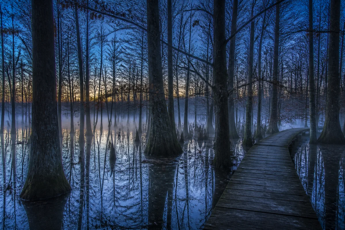
Mallard Brake — Flooded Timber
Flooded timber concept
- Access
- Day access
- Method
- Shotgun
- Party
- Up to 4
Private hunting access · All 50 states
Explore the map or browse the list. Looking for a full-season lease? →
Reviewed live inventory
0 reviewed live hunts match your search.
Illustrative marketplace preview
These concepts show the search experience, not land currently offered on Back40 Pass. Example prices are illustrative inputs—not offers, quotes, or market estimates.
Example hunt · not currently bookableArkansas · Waterfowl
Flooded timber concept
Tell us what you need for your next hunt.
Remove a filter or broaden the confirmed map area, or watch for a new matching hunt.
Actual USA geography
This map is not permission to enter. Price pins are approximate below zoom 12. At closer zoom, only a separately owner-consented, operator-reviewed parcel boundary can appear. Every live list result must have that matching reviewed parcel publication before it can enter public inventory. No map result grants access.
Loading reviewed parcel map results.
Use the map controls or Tab to a price pin. If a preview is open, Esc closes it first. On small screens, press Esc again to return to the list. Zoom to 12 or closer for reviewed boundaries.
Map data: OpenFreeMap, OpenMapTiles, and OpenStreetMap contributors.
Public land & water · Official links
Explore agency-managed access alongside private opportunities. Get licenses, maps, seasons and entry instructions from the official source.
UT · Davis County · Hunting
Ducks & geese
Shared public waterfowl ground with designated access points. Use the current agency map and legal hunt dates.
Open access · Check seasons and closures
Utah hunting or combination license, HIP registration, federal duck stamp where required, and applicable hunter education.
Ducks and geese only. Excludes swan permits, rest areas, educational closures and special blind arrangements.
Why this is included: Utah’s waterfowl rule exempts ducks and geese from the species-permit requirement. The 2026 agency access report names this public WMA.
Source checked 2026-10-07. Agency entry or reservation; no Back40 booking fee.
UT · Weber County · Hunting
Ducks & geese
Public waterfowl access through agency-designated parking and launch areas during legal seasons.
Open access · Check seasons and closures
Utah hunting or combination license, HIP registration, federal duck stamp where required, and applicable hunter education.
Ducks and geese only. Follow posted gates, closures and mapped hunt boundaries; no exclusive spot is reserved.
Why this is included: Utah’s waterfowl rule exempts ducks and geese from the species-permit requirement. The 2026 agency access report identifies ordinary public entry.
Source checked 2026-10-07. Agency entry or reservation; no Back40 booking fee.
VA · Fauquier & Culpeper counties · Hunting
Squirrels, rabbits & quail
Public small-game hunting in designated WMA areas during the applicable species season.
Open access · Check seasons and closures
Appropriate Virginia hunting license, hunter education where required, and applicable local method rules.
Excludes the Hogue Tract’s restricted October–January access and separate special hunts. Check each species season before travel.
Why this is included: The agency describes ordinary public small-game hunting and hunting-license access. This entry covers that activity only, based on those listed requirements.
Source checked 2026-10-07. Agency entry or reservation; no Back40 booking fee.
Clear before the gate
A live card states the land-access price for the whole allowed party per hunt day—not a per-person teaser.
Every state stays searchable. A zero-result state remains honest instead of borrowing examples as inventory.
See approximate price pins at a broad zoom and only separately owner-consented, operator-reviewed parcel boundaries when you zoom close. A boundary is not a survey, access point, or permission to enter.
Only a reviewed real listing can accept a date request, and a request alone never grants hunting permission.
Marketplace questions
No. Each is an illustrative marketplace concept, says it is not currently bookable, and stays outside live result totals. Orange example pins show fictional regional locations and illustrative pricing; they do not identify actual properties.
No. “Request a hunt like this” opens the existing hunter-request flow for the same state and game; it does not reserve or contact an example property.
On a reviewed real listing, it is the listed land-access price for the whole allowed party for one hunt day. Example prices are illustrative only, not offers or market estimates.
At a broad zoom, price pins show an approximate area. At zoom 12 or closer, the map may show a separately owner-consented, operator-reviewed parcel boundary and county. It never shows an APN, parcel reference, gate, parking location, entry point, access route, or permission to enter. A reviewed boundary is not a survey, title record, or proof of ownership.
No. The landowner must approve the exact party, dates, rules, and property terms. Hunters remain responsible for every current license, tag, permit, season, and method rule.
Create a privacy-safe hunter request. It records real demand and gives you a link to share with landowners without turning an example into inventory.